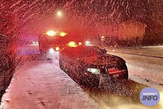
Snow Forecast For Rockland County, 5-8 Inches Expected
by Monsey.info
Latest storm updates from Supervisor Michael Specht and the Town of Ramapo
Currently the forecast is for 5-7 inches of snow accumulation from this evening around 6pm through around 11am Tuesday. The heaviest snow is expected from around 9pm through 4am, where the bulk of the accumulation occurs, around 4 or 5 inches. Lingering light snow will remain through much of Tuesday morning, but these accumulations will add around another 1 inch. By noon Tuesday lingering activity is forecast to change to rain and end during the mid-afternoon. Stay safe out there and have a good evening and night!
Let it snow.
Snow is again expected to fall in Rockland County Monday, beginning between 5:00pm and 7:00pm with snow likely to have already begun by 7pm.
Forecasts are predicting the snow storm to last util approximately 1:00pm Tuesday; however, there is a period Tuesday morning between 6:00am and 9:00am when some freezing rain may mix in. Snow may then mix with or change to rain around 2:00pm Tuesday before ending around 4:00 or 5:00pm Tuesday.
Periods of moderate to heavy snow may occur with rates near 1 inch per hour possible. Total snowfall amounts of 5-8 inches are expected. Snow amounts will be elevation dependent with higher amounts in the higher terrain. Ice amounts, if any, will be less than 0.05 inch.
Wind gusts of up to 30mph expected.
Orange & Rockland is preparing to mobilize its emergency response workforce to repair potential damage and restore possible power outages that could result from the snowstorm.
A snowstorm, featuring high water content as this storm does, could pose a significant threat to electric service because of the increased risk its weight contributes to downing trees, tree limbs and overhead electric lines — all of which could interfere with the safe, reliable delivery of electric service.